File:Serene Shores high tide map.png
Jump to navigation
Jump to search
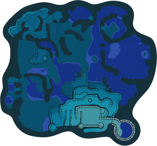
Size of this preview: 644 × 599 pixels.
Original file (1,524 × 1,418 pixels, file size: 481 KB, MIME type: image/png)
Summary
| File information | |
|---|---|
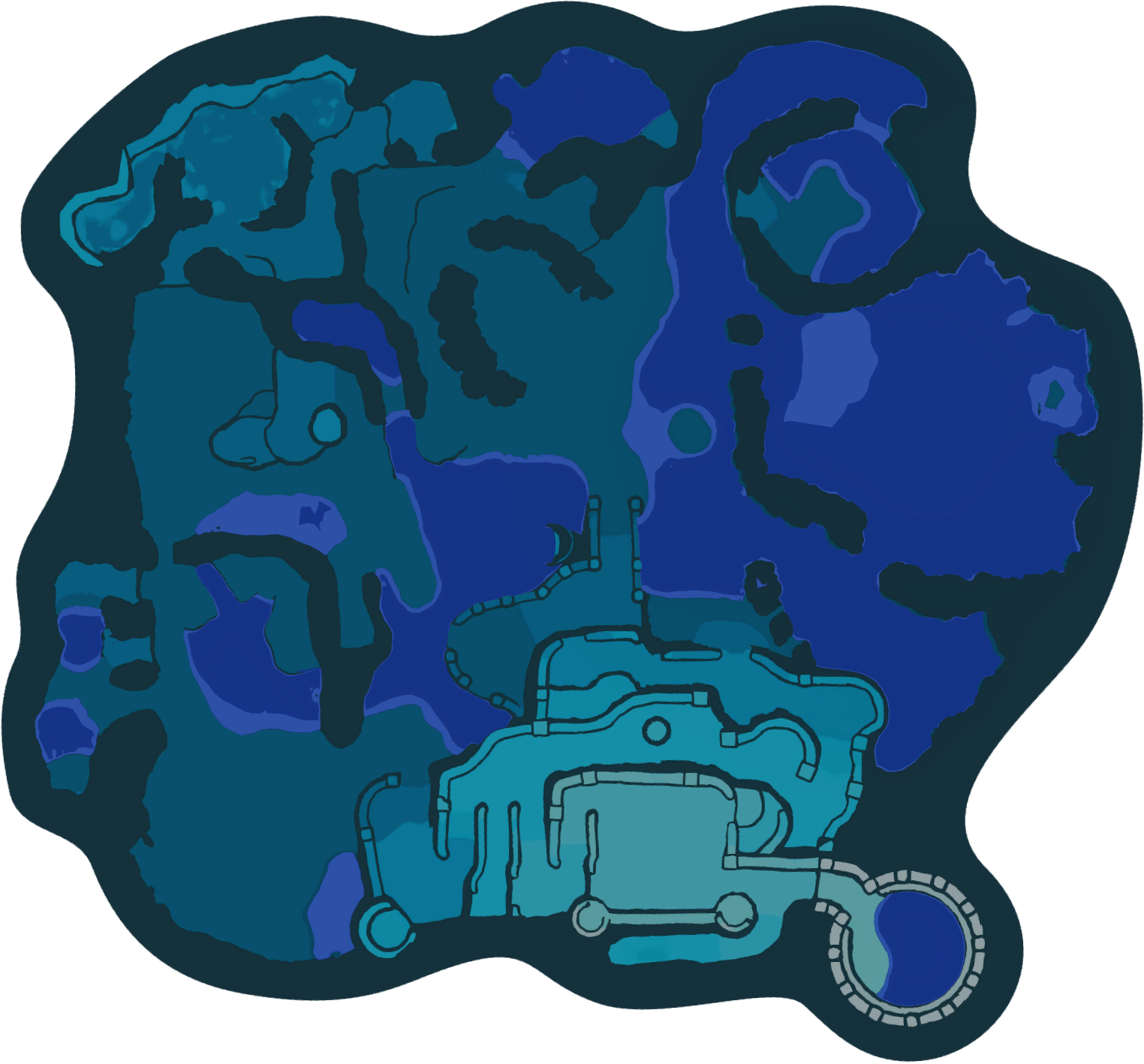
| Summary | Radar map of the Serene Shores as it appears before noon, rotated to be north-up and with bodies of water composited in. |
| Type | Map |
| Game | Pikmin 4 |
| License | This file has been given an invalid license parameter. Remove the parameter entirely for the game/media copyrighted fair use license to be displayed, or see Template:License for a list of valid license parameters and either fix the parameter or add a new license, if needed. Until then, fair use is assumed. |
File history
Click on a date/time to view the file as it appeared at that time.
| Date/Time | Thumbnail | Dimensions | User | Comment | |
|---|---|---|---|---|---|
| current | 22:19, March 1, 2024 | | 1,524 × 1,418 (481 KB) | Trig Jegman (talk | contribs) | zopfli |
| 13:39, February 10, 2024 | 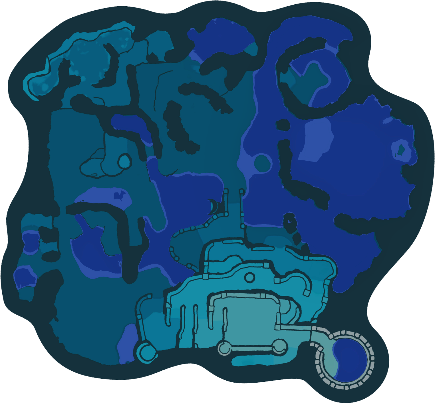 | 1,524 × 1,418 (702 KB) | PopitTart (talk | contribs) | {{file info |summary = Radar map of Serene Shores as it appears before noon rotated to be north-up and bodies of water composited in. |type = screenshot }} |
You cannot overwrite this file.
File usage
The following 35 pages use this file:
- Ambiguous Hostel
- Area
- Below-Grade Discotheque
- Bright Sword
- Chance Totem
- Crimson Banquet
- Dapper Rubber Cutie
- Dawn Pustules
- Emperor Whistle
- Engulfed Castle
- Face Wrinkler
- Fish-Bed Snack
- Fishy Bed
- Foolish Fruit
- Giant's Fossil
- Gold Nugget
- Heroine's Tear
- Juicy Gaggle
- Lamp of Inspiration
- Lesser Mock Bottom
- Mock Bottom
- Mystery Squish Fish
- Newtolite Shell
- Orbital Communication Sphere
- Princess Pearl
- Radar
- Ring-of-Return Shield
- Seafloor Resort
- Serene Shores
- Slapstick Crescent
- Stately Rubber Cutie
- Stellar Extrusion
- Subzero Sauna
- Zest Bomb
- Template:Serene Shores